UN
23 Bursledon Place
£ 201,000
Description
We don't have a Description for this property.
- Bedrooms
- 3
- Bathrooms
- 0
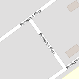
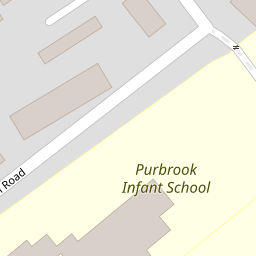

Leaflet © OpenStreetMap contributors
The heatmap indicates the level of crime in the area. The color of the heatmap indicates the crime severity and recency.
Metrics Year-on-Year
- Average area value
- 349,374.00 £Increased by 1.66 %
- Average area rental value
- 1,348.00 £/moDecreased by 29.68 %
- Est rental Yield
- 4.63 %Decreased by 30.79 %
- Crime Rate
- 7.00 %Unchanged by 0.00 %
from 343,669.00 £
from 1,917.00 £/mo
from 6.69 %
from 7.00 %
Nearby Schools
| Name | Type | Ofsted | Distance |
|---|---|---|---|
| Purbrook Infant School | Community School | Good | 0.20 KM |
| Purbrook Junior School | Community School | Good | 0.20 KM |
| Mill Hill Primary School | Community School | Good | 0.70 KM |
| Mill Hill, Small Steps And Crookhorn Lane Children'S Centre | Children's Centre | 0.70 KM | |
| Purbrook Park School | Foundation School | Good | 1.05 KM |
Images
Nearby Streets
| Name | Average Price | Average Sqft | Distance |
|---|---|---|---|
| Woodlands Grove | £ 0 | 0 | 0.00 KM |
| Mountbatten Drive | £ 0 | 0 | 0.00 KM |
| Timber Lane | £ 0 | 0 | 0.00 KM |
| Marrelswood Gardens | £ 699,995 | 0 | 0.00 KM |
| Millennium Court | £ 0 | 0 | 0.00 KM |
Nearby Transport
| Name | NLC | TLC | Distance |
|---|---|---|---|
| Cosham | 5896 | CSA | 4.39 KM |
| Hilsea | 5539 | HLS | 5.10 KM |
| Bedhampton | 5538 | BDH | 5.10 KM |
| Havant | 5532 | HAV | 6.58 KM |
| Warblington | 5264 | WBL | 8.16 KM |
Nearby Listings
| Address | Price | Type | Score | Distance |
|---|---|---|---|---|
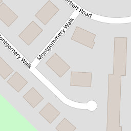
| Montgomery Walk, Waterlooville | £ 400,000 | BUY | 7 / 10 | 0.20 KM |
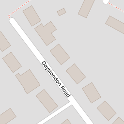
| Dayslondon Road, Waterlooville, PO7 5NN | £ 290,000 | BUY | 5 / 10 | 0.21 KM |
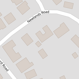
| Corbett Road, Waterlooville | £ 325,000 | BUY | 6 / 10 | 0.23 KM |
| Corbett Road, Waterlooville | £ 300,000 | BUY | Unknown | 0.23 KM |
| Alsford Road, Purbrook, PO7 5NE | £ 195,000 | BUY | 6 / 10 | 0.24 KM |
Nearby Properties
| Address | Price | Distance |
|---|---|---|
| 5 Bursledon Place | £ 239,000 | 0.00 KM |
| 20 Bursledon Place | £ 80,000 | 0.00 KM |
| 2 Bursledon Place | £ 213,000 | 0.00 KM |
| 21 Bursledon Place | £ 300,000 | 0.00 KM |
| 24 Bursledon Place | £ 158,000 | 0.00 KM |